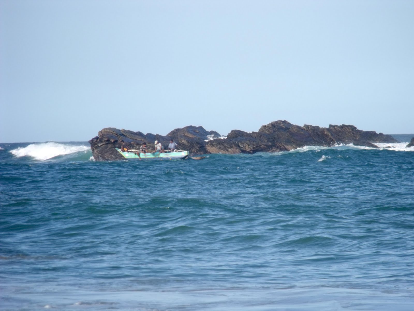
Wednesday, January 23, 2013
Tangalle
Tangalle (Sinhala තංගල්ල [ˈtaŋɡalːə]) is a big town in Hambantota District, Southern Province, Sri Lanka, governed by an Urban Council.
It is one of the largest towns in southern province. It has a mild
climate, in comparison to the rest of the district, and sandy beaches.
The name of the town in Sinhala means "projected rock", a reference to the rocks which form the coastline in the town area, which contrasts with the sandy beach of the surrounding areas.
Tangalle is a regionally important fishing port and a centre of tourism. In the city center there is an old Dutch fort which is used as a prison today.
Sinharaja Forest Reserve
Sinharaja Forest Reserve is a national park and a biodiversity hotspot in Sri Lanka. It is of international significance and has been designated a Biosphere Reserve and World Heritage Site by UNESCO.
The hilly virgin rainforest, part of the Sri Lanka lowland rain forests ecoregion,
was saved from the worst of commercial logging by its inaccessibility,
and was designated a World Biosphere Reserve in 1978 and a World
Heritage Site in 1988. The reserve's name translates as Kingdom of the Lion.
The reserve is only 21 km (13 mi) from east to west, and a maximum of 7 km (4.3 mi) from north to south, but it is a treasure trove of endemic species, including trees, insects, amphibians, reptiles, birds and mammals.
Because of the dense vegetation, wildlife is not as easily seen as at dry-zone national parks such as Yala. There are about 3 elephants and the 15 or so leopards are rarely seen. The most common larger mammal is the endemic Purple-faced Langur.
An interesting phenomenon is that birds tend to move in mixed feeding flocks, invariably led by the fearless Greater Racket-tailed Drongo and the noisy Orange-billed Babbler. Of Sri Lanka's 26 endemic birds, the 20 rainforest species all occur here, including the elusive Red-faced Malkoha, Green-billed Coucal and Sri Lanka Blue Magpie.
Reptiles include the endemic Green pit viper and Hump-nosed vipers, and there are a large variety of amphibians, especially tree frogs. Invertebrates include the endemic Common Birdwing butterfly and the inevitable leeches

The reserve is only 21 km (13 mi) from east to west, and a maximum of 7 km (4.3 mi) from north to south, but it is a treasure trove of endemic species, including trees, insects, amphibians, reptiles, birds and mammals.


Reptiles include the endemic Green pit viper and Hump-nosed vipers, and there are a large variety of amphibians, especially tree frogs. Invertebrates include the endemic Common Birdwing butterfly and the inevitable leeches
Hummanaya Blowhole - Tangalle
In geology, a blowhole is formed as sea caves
grow landwards and upwards into vertical shafts and expose themselves
towards the surface, which can result in blasts of water from the top of
the blowhole[1] if the geometry of the cave and blowhole and state of the weather are appropriate.
A blowhole is also the name of a rare geologic feature in which air is blown through a small hole at the surface due to pressure differences between a closed underground system and the surface. The blowholes of Wupatki National Monument are an example of such a phenomenon. It is estimated that the closed underground passages have a volume of at least seven billion cubic feet. Wind speeds can approach 30 miles per hour.[2]
Pinnawala Eliphant Orphanage
Horton Plains National Park
Horton Plains National Park is a protected area in the central highlands of Sri Lanka and is covered by montane grassland and cloud forest. This plateau at an altitude of 2,100–2,300 metres (6,900–7,500 ft) is rich in biodiversity and many species found here are endemic to the region. This region was designated a national park in 1988. It is also a popular tourist destination and is situated 32 kilometres (20 mi) from Nuwara Eliya and 8 kilometres (5.0 mi) from Ohiya
The Horton Plains are the headwaters of three major Sri Lankan rivers, the Mahaweli, Kelani, and Walawe. In Sinhala the plains are known as Maha Eliya Plains. Stone tools dating back to Balangoda culture have been found here. The plains' vegetation is grasslands interspersed with montane forest, and includes many endemic woody plants. Large herds of Sri Lankan Sambar Deer feature as typical mammals, and the park is also an Important Bird Area with many species not only endemic to Sri Lanka but restricted to the Horton Plains. Forest dieback is one of the major threats to the park and some studies suggest that it is caused by a natural phenomenon. The sheer precipice of World's End and Baker's Falls are among the tourist attractions of the park.
Tuesday, January 22, 2013
Kataragama
![]() |
God Katharagama |
Kataragama (Sinhala: කතරගම (katharagama), Tamil: கதிர்காமம் (katirkāmam)), is a pilgrimage town sacred to Buddhist, Hindu, Muslim and indigenous Vedda people of Sri Lanka. People from South India also come there to worship. The town has Ruhunu Maha Kataragama devalaya, a shrine dedicated to Skanda-Murukan also known as Kataragamadevio. Kataragama is situated in the Monaragala District of Uva province, Sri Lanka. It is situated 228 km ESE of Colombo, the capital of Sri Lanka. Although Kataragama was a small village in medieval times, today it is a fast developing township surrounded by jungle in the South Eastern region of Sri Lanka. It also houses the ancient Kiri Vehera Buddhist stupa. The town has a venerable history dating back to the last centuries of BCE. It also was the seat of government of many Sinhalese kings during the days of Rohana kingdom. Since the 1950s the city has undergone many improvements with successive governments investing in public transportation, medical facilities, and business development and hotel services. It adjoins the popular Yala national park.
Subscribe to:
Posts (Atom)